Day 4 – Tuesday, October 13: Hippos/Susita, Qatzrin, Syrian Border, Caesarea Philippi, Dan, “Hill 713” (Mitzpe Ha-Yammim)
Today we traveled north to the Golan Heights. It was another warm day, with hazy sun and highs in the upper 80s. Everywhere we went today we had every site to ourselves. We left the hotel at 7:20, reading Matthew 4 as we began our drive around the Sea of Galilee.
Hippos/Sussita
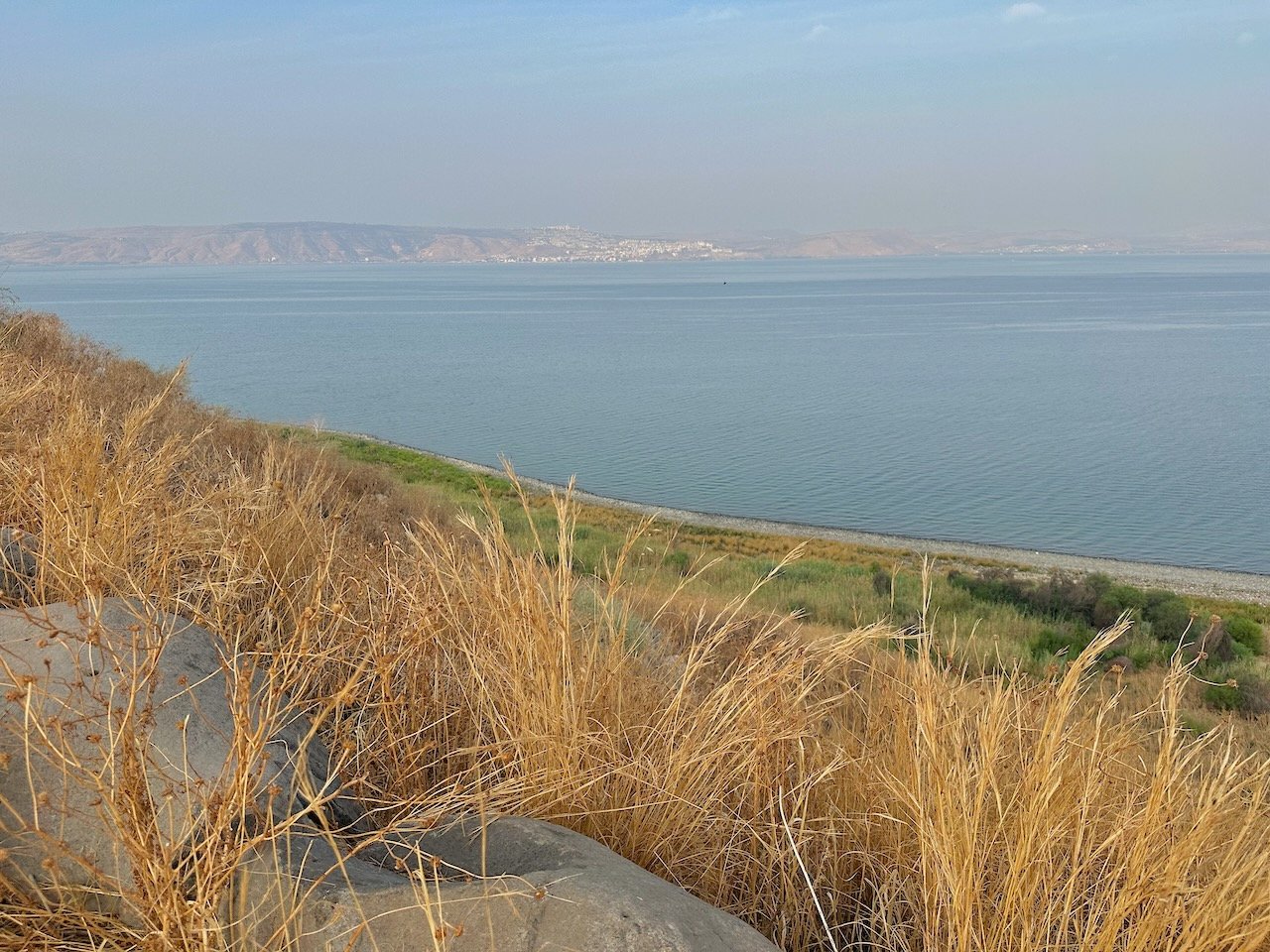
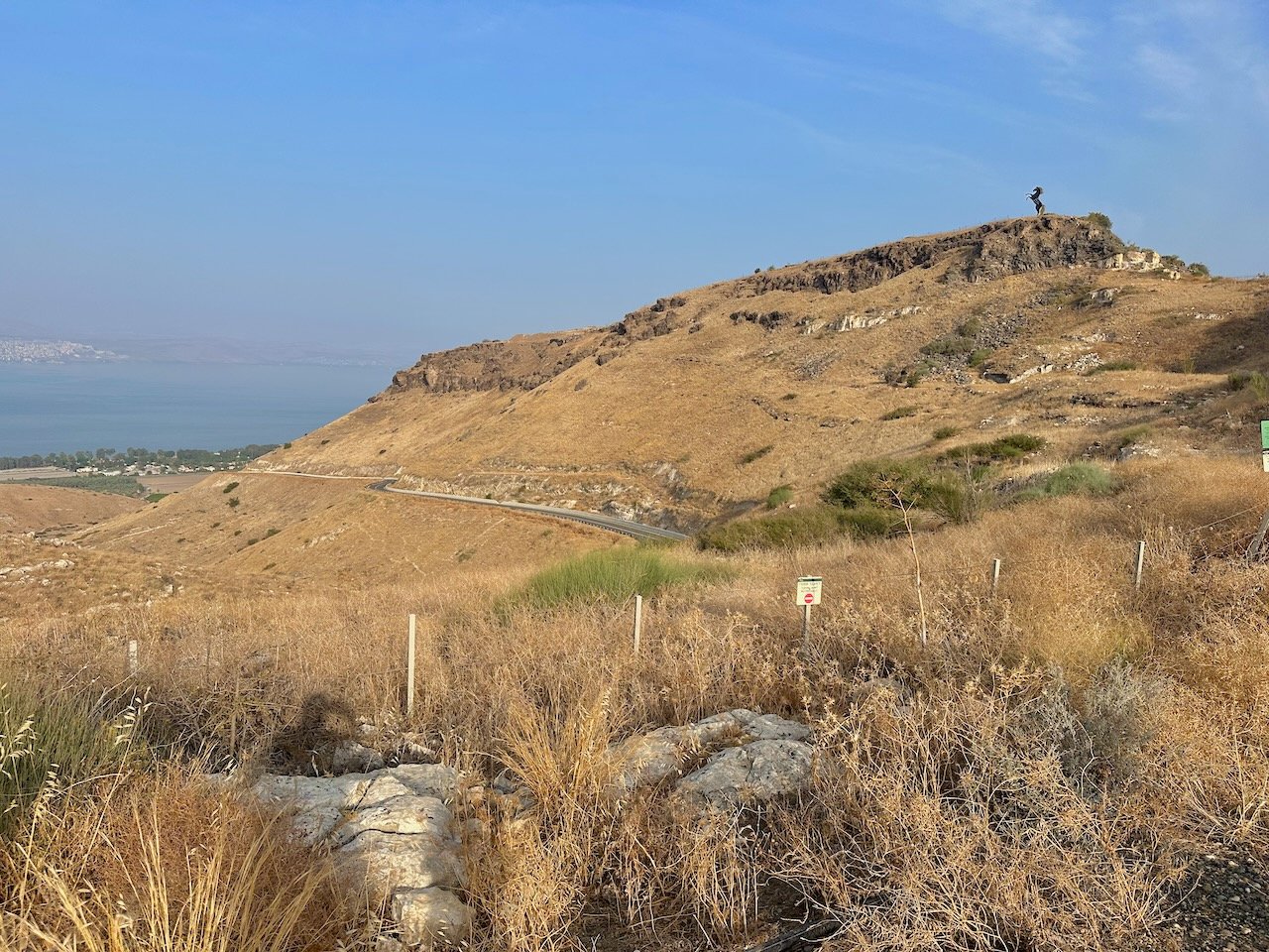
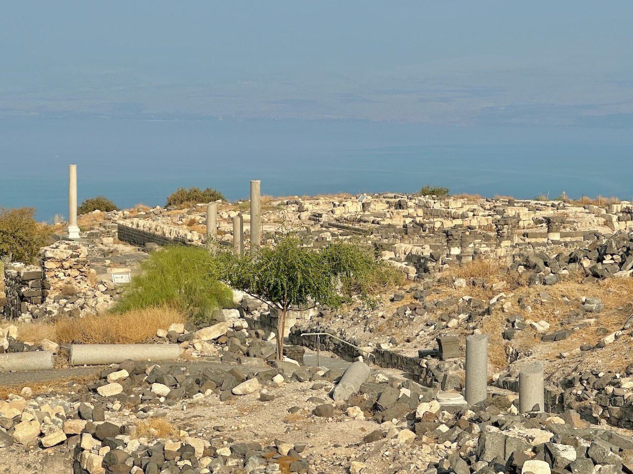
We first traveled north to the northern end of the lake. This is the location of Bethsaida, the home of Peter, Andrew, and Philip (John 1). We then turned south as we drove on the east side of the lake. We made a brief stop at the only “cliff” area on this side. No doubt this is where Mark 5 took place. We continued to Hippos/Sussita. Here at Hippos (a Decapolis city), we saw many Roman ruins. During the Byzantine Period (4th-6th centuries AD), there were no less than a half a dozen churches were built here. With a great view of the lake, we read the transformational story of the demoniac from Mark 5 (which most likely happened down near the lakeshore). The view across the lake was fairly good, but with some haze in the sky.
Katzrin
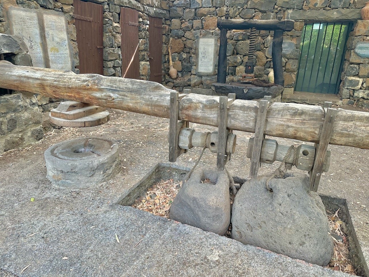
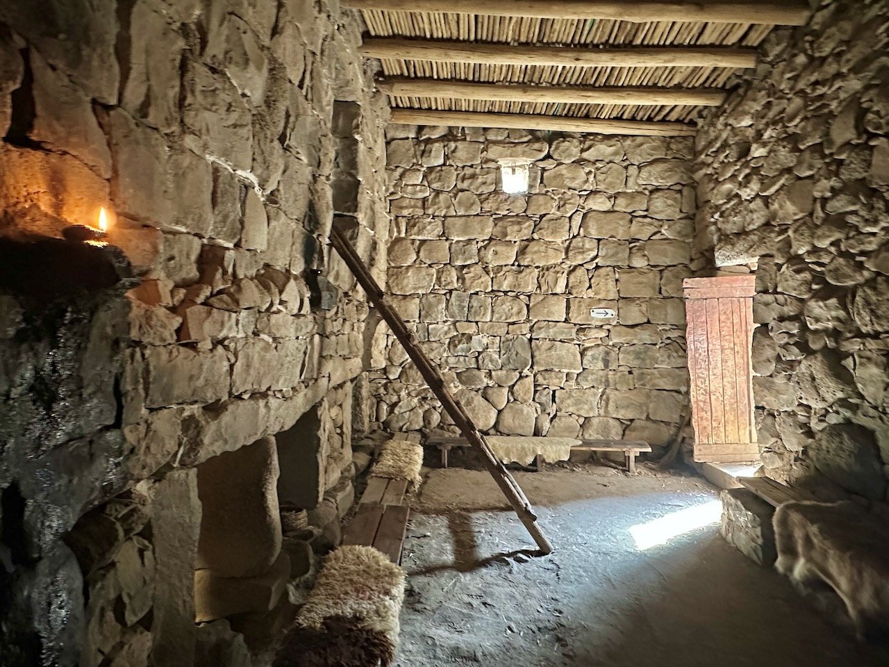
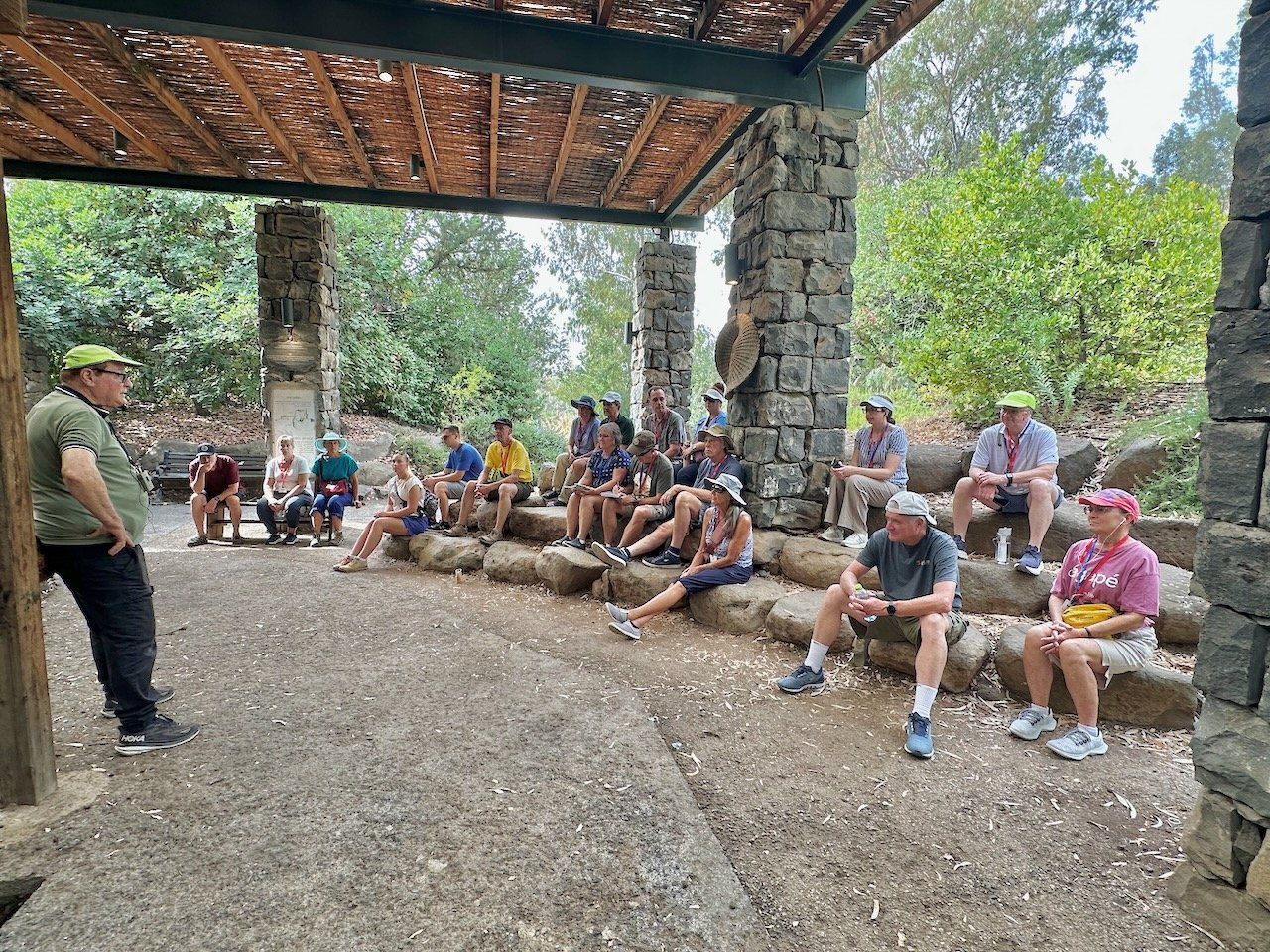
Next, we drove back north to Katzrin, the largest city in the Golan Heights. We visited the Talmudic Village that is here (from about the 3rd-8th centuries AD). We saw good examples of olive presses, the synagogue, and other house structures. We then gathered in a completely-restored stone house where we read from Mark 2. We could see the story unfolding before our eyes!
Syrian Border/Qunetra
Next, we drove to the base of a IDF military establishment located on the border with Syria. Here, Shlomo shared with us some of the modern history between Israel and Syria (ie. 1967 and 1973 wars). We looked across to see Qunetra, once a Syrian town. Since the recent wars, Israel has maintained partial control of the areas across the border within Syria.
Caesarea Philippi/Banias
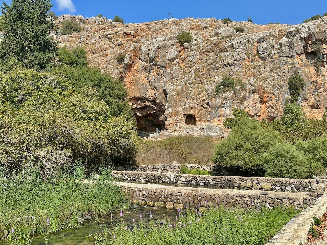
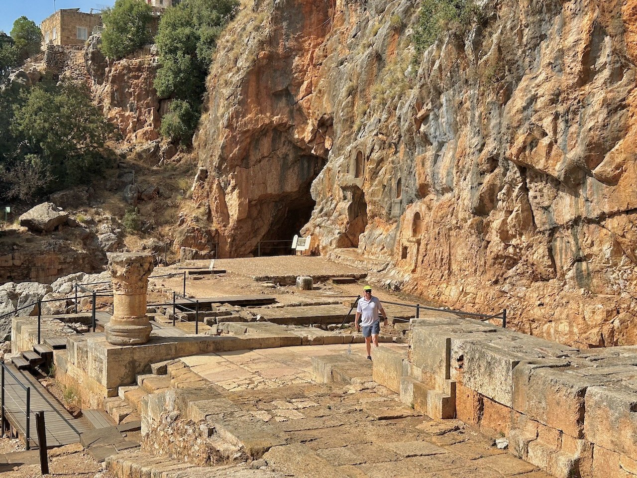
Descending down of the Golan Heights, we stopped at the archaeological site of Caesarea Philippi. This was a very pagan city in the days of Jesus and through the Roman Period. The city enjoyed the waters of the Banias Spring, one of the three tributaries of the Jordan. We read from Matthew 16 where Jesus asked His disciples the “final exam” question, “Who do you say I am?” Among the ruins at the Grotto once stood the Temples of Augustus, Zeus/Jupiter, Nemesis, the Shrine of the Dancing Goats, and the niches dedicated to Pan, the promiscuous shepherding god of the Greeks and Romans. Jesus promised the unstoppable force of the kingdom (i.e. “and the Gates of Hades will not prevail…”). Six days later, Jesus was transfigured (perhaps somewhere on the lower slopes of Mt. Hermon (Matthew 17).
“We spent most of the day in the Golan Heights. It was another great day connecting with the Bible and the land. We did a lot of walking today, but to amazing destinations!”
Dan Nature Preserve & Archaeological Site
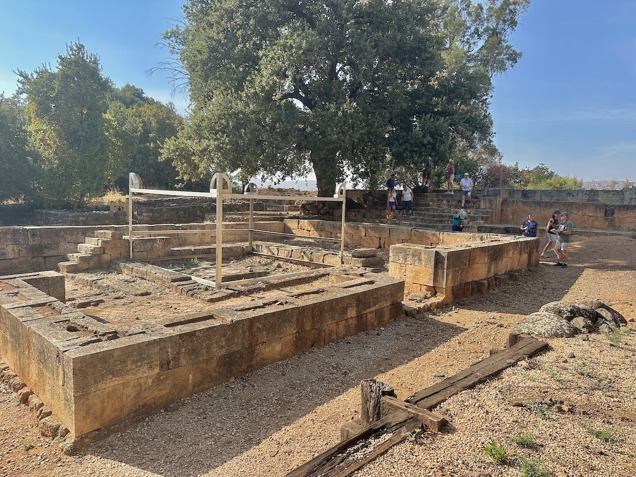
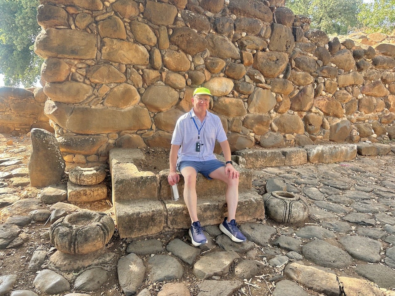
Nearby a short distance to the west is the Nature Preserve and archaeological site of Tel Dan. The Dan Spring served this ancient city originally called Laish. We walked along the river before the trail detoured us to another trail. This trail was very nice as it led us to the Iron Age/9th century BC Israelite gate and where the famous Dan Inscription was found in July, 1993. We then walked through the ruins to the cultic area of the altar and high place. We read from Judges 18 and 1 Kings 12 about the patterns of disobedience displayed here, starting with the Danites and continuing through Jereboam until Israel’s end in 722 BC. In the area of the cultic place, we looked into Lebanon, only a few miles to the north.
Leaving the site of Dan we saw the a mud-brick Middle Bronze gate (although probably not seen or used by Abraham). It was a terrific visit to this northern city on the border of Lebanon.
“Hill 713” (Mitzpe Ha-Yammim)
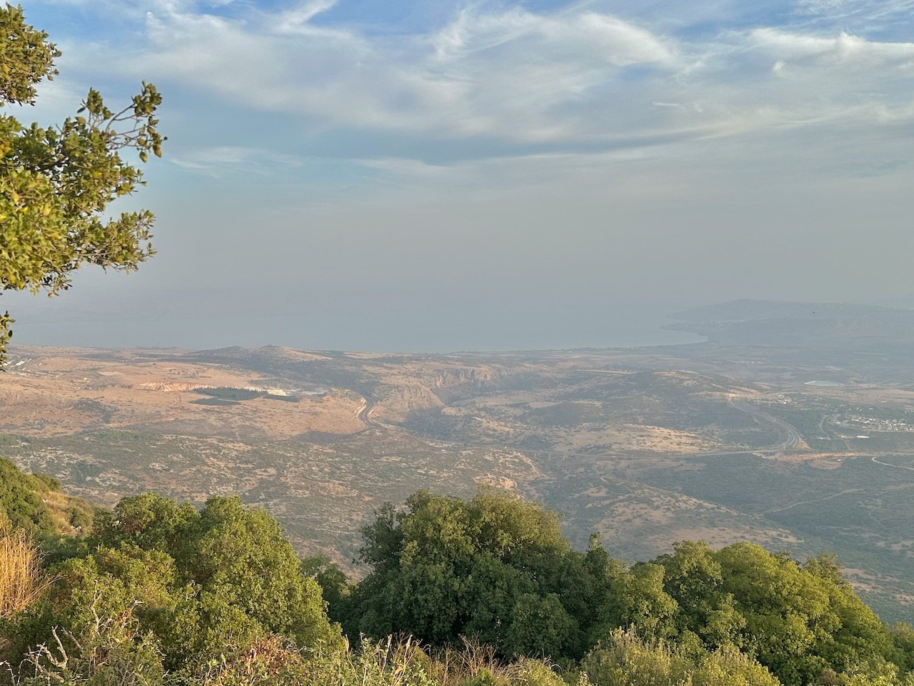
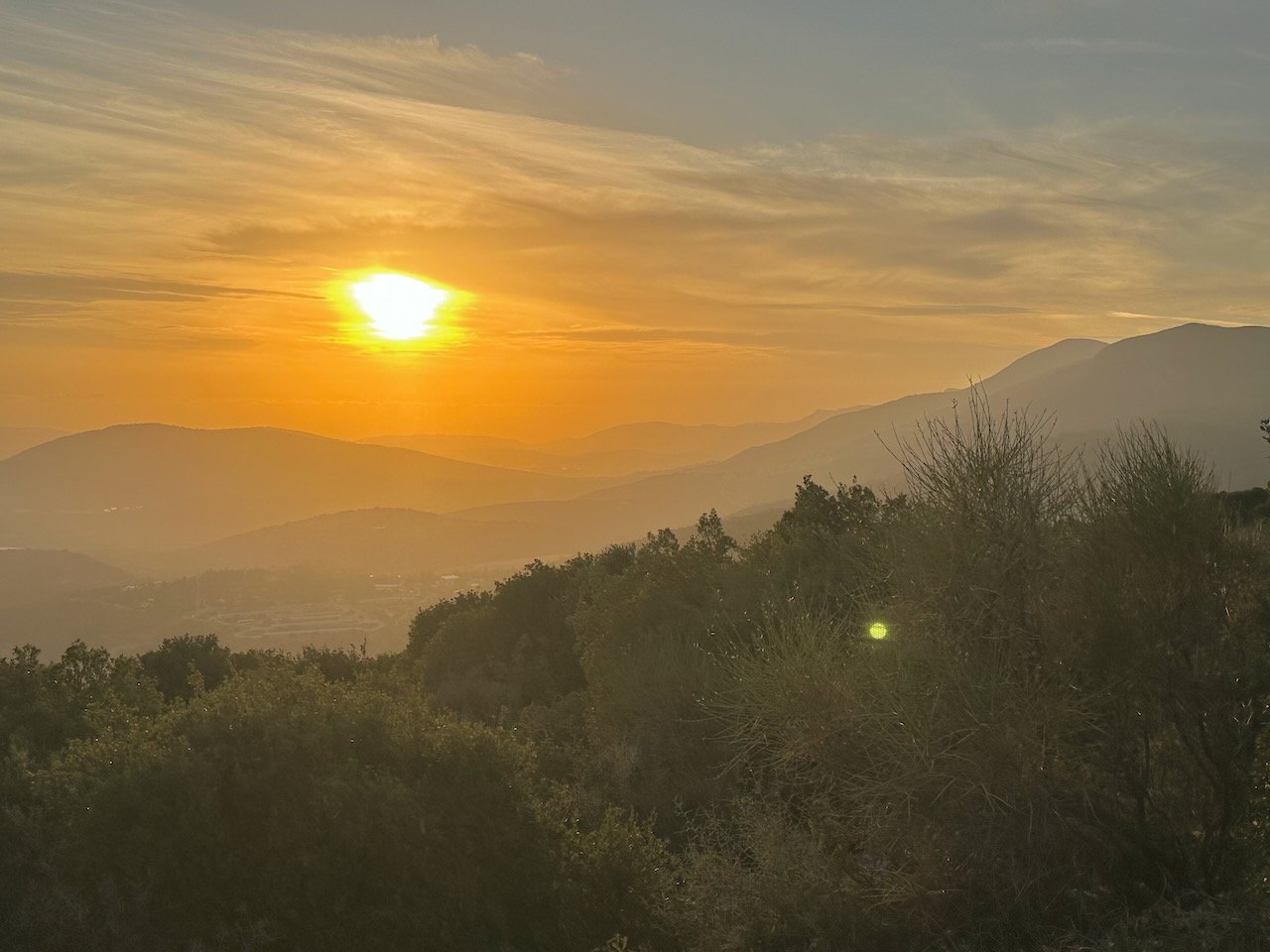
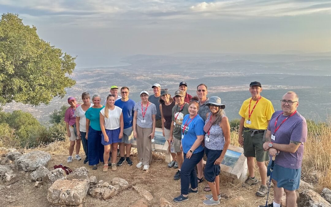
On the way back to Tiberias we added an extra site (originally scheduled for early tomorrow morning). This was a unique visit (and hike) to “Hill 713” (or Mitzpe Ha-Yammim in Hebrew, the “view of two seas”). We arrived at the trailhead at about 5:00 p.m. and made it to the “view” (a .8 mile hike) about 25 minutes later. Located on part of the Meron Range, this viewpoint provides the very best view of the entire Sea of Galilee, the Lower Galilee areas, and the entire width of Israel! On a clear day one can even see as far west as Tel Aviv area and the Med Sea! However despite the afternoon haze in the sky, the visibility was still descent enough for us to see the outline of the lake, and most of the Lower Galilee.
We hiked back to the bus for the drive back to Nof Ginnosar. We arrived at 7:00 p.m. in time for a later dinner.
Day 5 – Wednesday, October 14: Arbel, Yardenit, Magdala, Capernaum, Ancient Boat, Sea of Galilee Boat Ride